
Geographic Information System (GIS) for Beginners
Description
Starting Dec 12, 2021
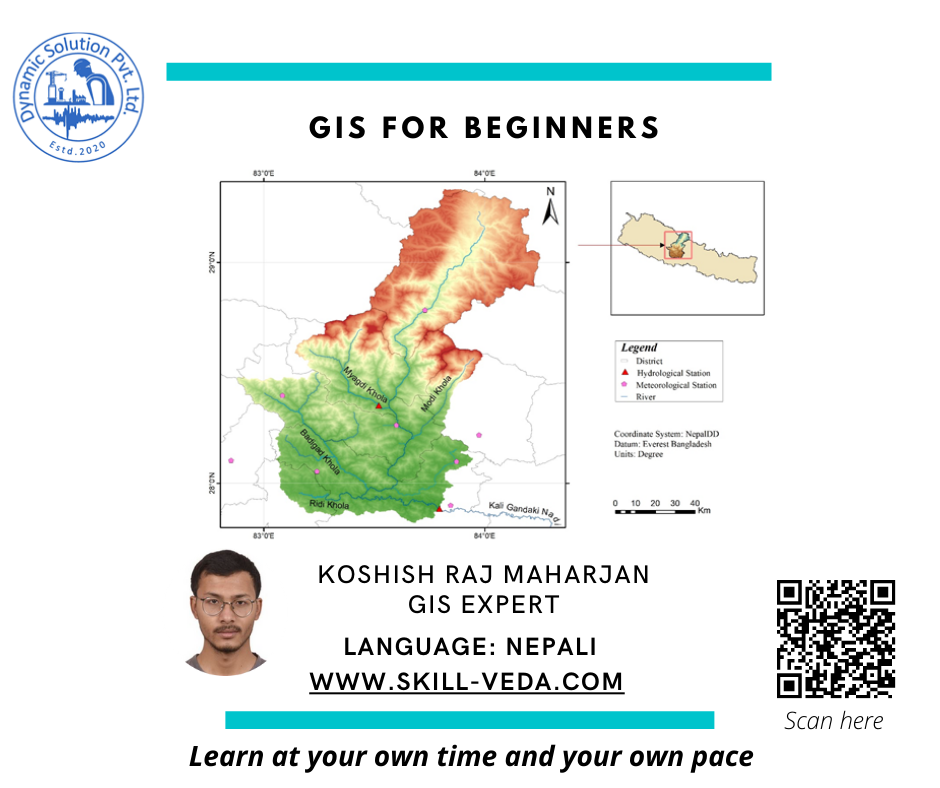
Geographic Information System (GIS) provides a platform to capture, manage, analyse and map all kind of data. This is useful for wide varieties of field such as engineering, environment science, remote sensing analysis, etc. GIS offers an efficient and convenient means to deal with both spatial and non-spatial data and study their trends and patterns. The scope and extent of GIS is so broad that it can be used for many fields as stated before. It is useful to engineers for the development of hydrological models, flood analysis, network analysis, etc. It is used by the environment conversationalist to keep track of records of their study and also study the trend and relationships. GIS can also be used to make maps from the database which can be dynamically updated and shared easily. This strengthens the communication to be better and fast.
This course has been designed to help as a guide for the beginners to step into the GIS platform. This course intends to familiarise the learners about the basic idea and concepts of GIS which will definitely be helpful for the further journey as a GIS enthusiast.
What Will I Learn?
- Basic introduction to GIS
- Vector data model and various geoprocessing tools
- Raster data model and raster functions
- Watershed delineation and use of raster calculator for reservoir volume computation
- Build custom models using model builders
- Map layout
Topics for this course
Day 1: Introduction to GIS
Day 1 Introduction to GIS1:00:46
Day 1 Introduction to GIS-continued36:53
Day 2: Themes, Data Models and Types of Maps
Day 3: Spatial Data and Non-Spatial Data (Attribute Data)
Day 4: Projection systems
Day 5: Vector Geoprocessing I
Day 6: Vector Geoprocessing II
Day 7: Selection, Queries and More Symbology and Labels.
Day 8: Application of Geoprocessing Tools
Day 9: Introduction to Raster and Surface
Day 10: Raster Analysis Functions
Day 11: Raster Topographic Functions
Day 12: Watershed Delineation and Reservoir Volume Computation
Day 13: Model Builder
Day 14: Map Layout
Day 15: Revision and discussion.
course materials and software link
About the instructor
15 Courses
312 students
Excellent course for the clear concept of GIS. Thank you.
Material Includes
- Sample Data for class
- Sample Custom Model: Automatic Watershed Delineation
Enrolment validity: Lifetime
Requirements
- Bachelor degree in Civil Engineering /Environment Science or any discipline
- Laptop with good internet
- Gmail account for course materials sharing
Tags
Target Audience
- Graduate Engineers
- GIS enthusiasts
Payment partners
